In July of 2019, a truly bizarre series of events unfolded around California’s Channel Islands. Over a number of days, groups of unidentified aircraft, which the U.S. Navy simply refers to as ‘drones’ or ‘UAVs,’ pursued that service’s vessels, prompting a high-level investigation.
During the evening encounters, as many as six aircraft were reported swarming around the ships at once. The drones were described as flying for prolonged periods in low-visibility conditions, and performing brazen maneuvers over the Navy warships near a sensitive military training range less than 100 miles off Los Angeles. The ensuing investigation included elements of the Navy, Coast Guard, and the Federal Bureau of Investigation (FBI). The incidents received major attention, including from the Chief of Naval Operations—the apex of the Navy’s chain of command.
The following is our own investigation into these events, during which we discovered these events were far more extensive in scale than previously understood.
A Strange Story Emerges
Last year, documentary filmmaker Dave Beaty uncovered initial details about the events, centering on the Arleigh Burke class destroyer USS Kidd (DDG-100). That initial account described a tense encounter, culminating in the deployment of onboard intelligence teams.
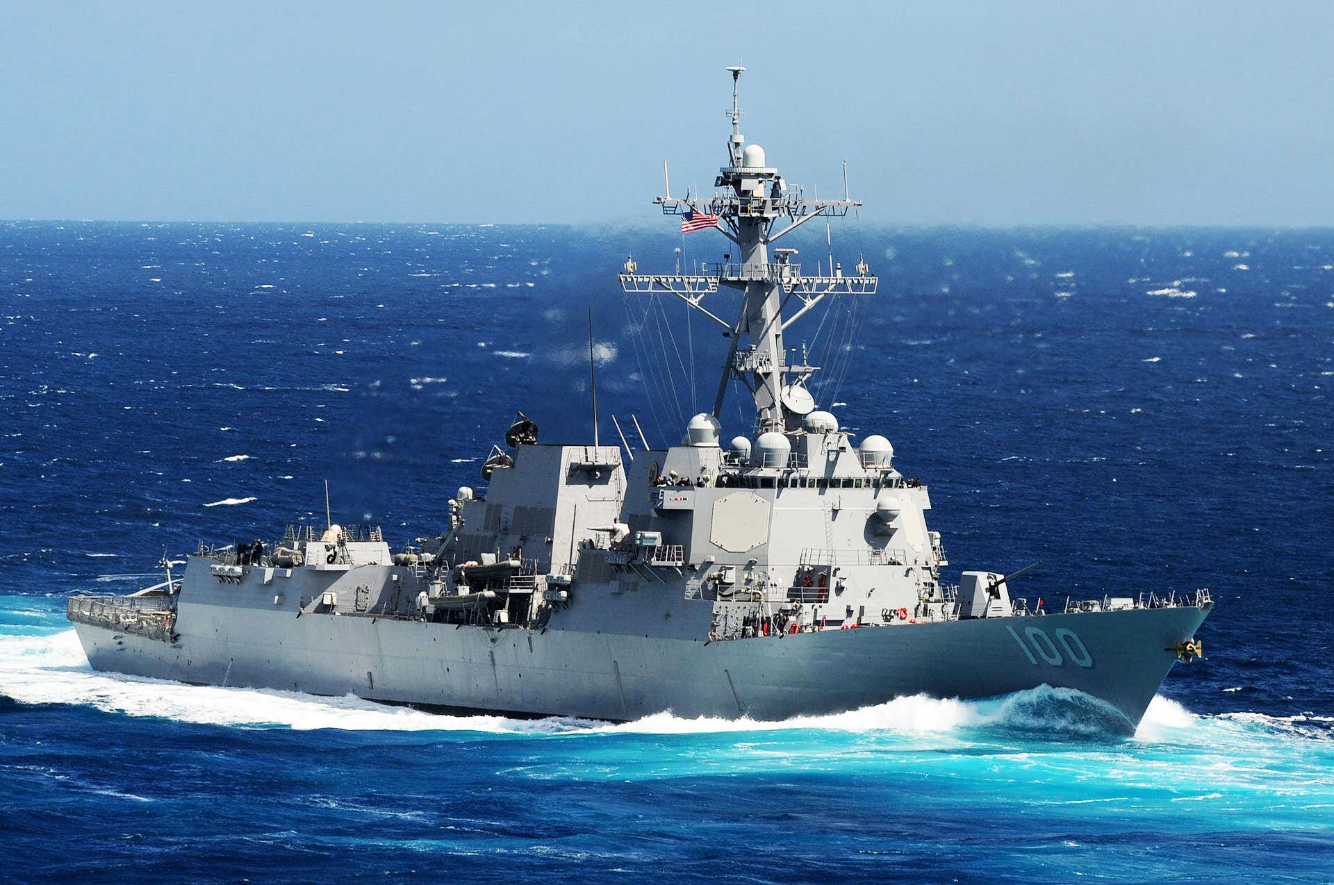
New documents significantly expand the public’s knowledge of the scope and severity of that incident and reveal others that occurred around the same time. These details come largely from our Freedom of Information Act (FOIA) requests, which resulted in the disclosure of deck logs from the ships involved. Additionally, our investigation utilized hundreds of gigabytes of automatic identification system (AIS) ship location data to forensically reconstruct the position of both military and civilian ships in the area during this strange series of events.
By using the USS Kidd‘s position as a starting point, we were able to identify several other ships in close proximity to it during the incidents in question, including U.S. Navy destroyers USS Rafael Peralta, USS Russell, USS John Finn, and the USS Paul Hamilton. Subsequent FOIA requests for these ships’ records allowed us to build a composite picture of the events as a whole.
Night One: July 14th, 2019
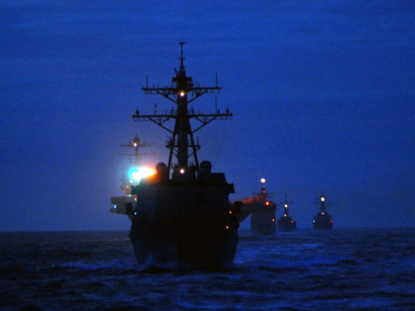
It appears the incidents began with an initial ‘UAV’ sighting by the USS Kidd around 10:00 PM on the night of July 14th, 2019. Deck logs like the one below provide information about the course and speed of the ship. Additionally, they record any other relevant information about unusual events or changes in the ship’s behavior. This log records the first drone sighting:

As previously reported, two drones, typically described as UAVs or unmanned aerial vehicles throughout the logs, were spotted by the Kidd. The Ship Nautical Or Otherwise Photographic Interpretation and Exploitation team, or “SNOOPIE team,” refers to an onboard photographic intelligence team tasked with documenting unknown contacts, events of interest, and other objects of interest on short order.
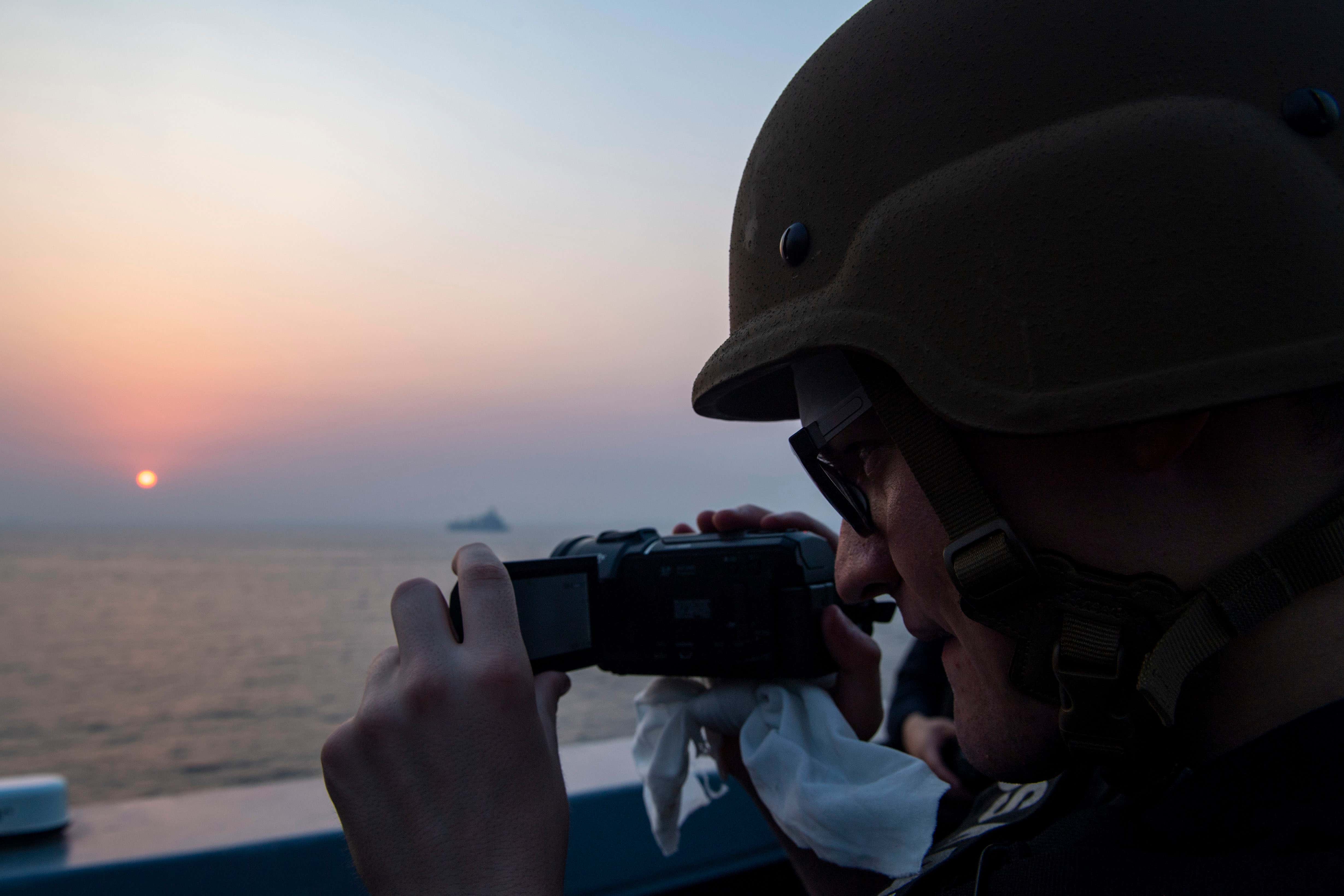
A member of a destroyer’s SNOOPIE team with a video camera in hand.
Though an Aegis-equipped ship like the USS Kidd has some of the most sophisticated sensors on earth, sailors equipped with consumer-grade cameras act as a kind of nimble spotting and event recording team, able to quickly adapt to changing conditions while providing situational awareness and recording what they see through traditional video and photo methods. You can see a SNOOPIE team in action and one of their products in the video below:
Moments after the sighting on July 14th, the USS Kidd entered into a condition of restricted communications designed to enhance operational security and enhance survivability. This is noted throughout many of the logs as “River City 1.” During the events, the ships often engaged “emissions control,” or EMCON, protocols designed to minimize their electronic emissions profile.
Less than 10 minutes after the sighting, the USS Kidd advised the USS Rafael Peralta of the situation. The USS Rafael Peralta logs show that at around 10:00 PM it activated its own SNOOPIE team. They also show that reports of additional sightings were coming in from the USS John Finn.
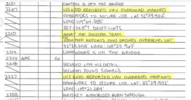
For its part, the logs of the USS John Finn simply reported possible UAV activity, and deactivation of the ship’s AIS transponder system. In fact, the selective deactivation of AIS was a challenge for us in reconstructing ship positions, as we sometimes had to rely on cross-comparison of deck logs to locate the position of the ships.
Shortly after the initial sighting, a red flashing light was spotted.

Among the more dramatic entries in the logs from this incident is the one below from the USS Rafael Peralta, describing a white light hovering over the ship’s flight deck.
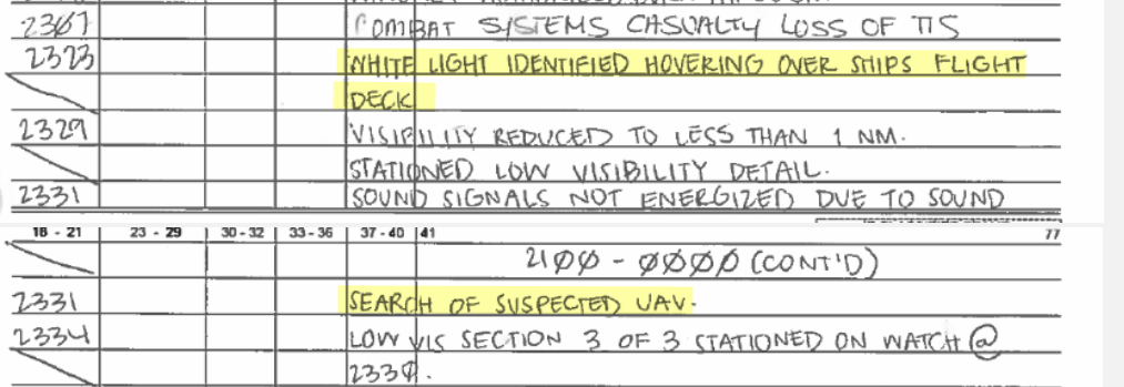
The log reflects that the drone managed to match the destroyer’s speed with the craft moving at 16 knots in order to maintain a hovering position over the ship’s helicopter landing pad. To further complicate what was already a complex maneuver, the drone was operating in low visibility conditions (less than a nautical mile) and at night.
By this point, the encounter had lasted over 90 minutes—significantly longer than what commercially available drones can typically sustain.
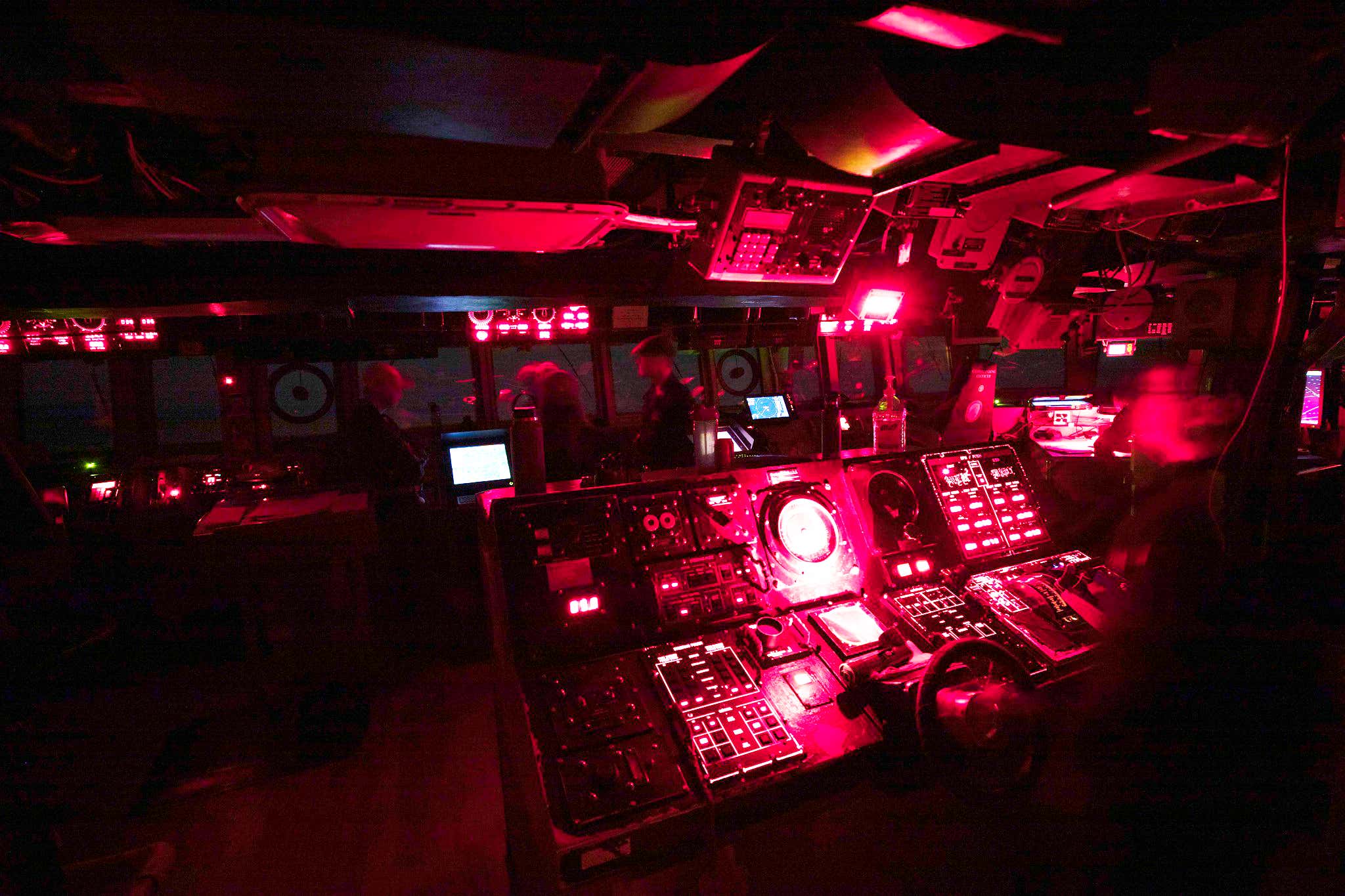
The red-lit bridge of an Arleigh Burke class destroyer at night.
According to AIS data, few civilian ships were in the immediate vicinity. AIS is not strictly mandatory in all cases, and can be turned off, so it is possible other vessels could have been nearby, as well. The civilian bulk carrier Bass Strait, cited later in the investigation, was situated towards the northern edge of the encounter area. A Liberian-flagged oil tanker, the Sigma Triumph, was just south of the position of the three destroyers. The ORV Alguita, a 50-foot catamaran, briefly a subject of interest in the official investigation that would come, was just off the western tip of San Clemente Island. Importantly, San Clemente Island is owned by the Navy and is frequently used for military training and testing purposes.
The following map shows maritime traffic around the ports of Los Angeles and San Diego on July 14th. The position of each ship at 10:00 PM is marked with a black indicator, and the track of the ship before and after the incident time is marked with colored dots. The approximate positions of each cluster of ships are numerically marked.
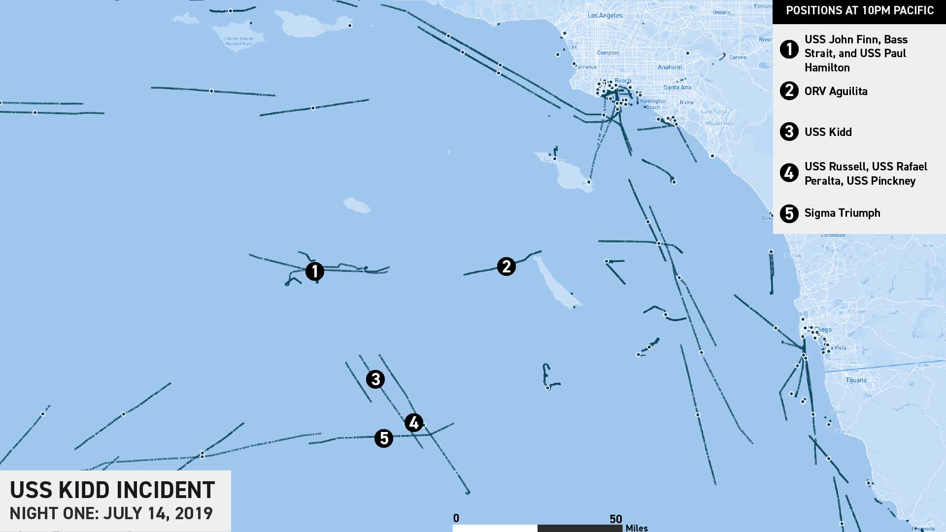
The two groups of destroyers and the ORV Alguita form a roughly triangular shape with each side approximately 50 nautical miles long, containing an area just over 1000 square nautical miles. The Bass Strait and the USS Paul Hamilton were in relatively close proximity at marker one. The ORV Alguita was off the northern tip of San Clemente Island at marker two. The USS Kidd was at marker three, and the formation of three destroyers was at marker four. The tanker Sigma Triumph was just to the west of the formation of three destroyers, at marker five.
Night Two: July 15th, 2019
Due to new FOIA disclosures, we now know that another major series of incursions occurred on the following night, July 15th, 2019.
This time, the USS Rafael Peralta was the first to spot the objects and to deploy its SNOOPIE teams at 8:39 PM.

By 9:00 PM, the USS Kidd had also spotted the drones and again deployed its SNOOPIE team. The drones seem to have pursued the ships, even as they continued to maneuver throughout the incident.

By 9:20 PM, the USS Kidd logs simply remark “Multiple UAVs around ship” – with the word ”above” crossed out:

17 minutes later, the command is issued to man Mark 87 stations:

The meaning of this is not exactly clear, but it could be referring to the Mark 87 Electro-Optical Director that is a component of the massive infrared and optical turret known as the Mk20 Electro-Optical Sighting System (EOSS) located above the bridge. This system was originally meant to help direct the ship’s 5-inch gun, but also provides surveillance and tracking over long distances. The War Zone has done a complete profile on this powerful optical system, which could have been useful in trying to understand what was going on around the ship and to possibly identify the drones at night.
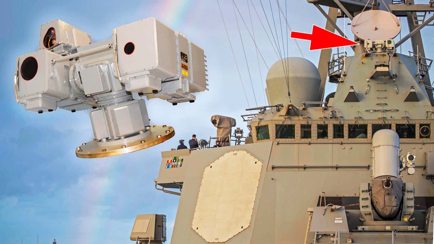
The Mk20 EOSS.
The reference could also be in regards to the ship’s 25mm/87 Mk38 chain guns that are also equipped for remote use via a FLIR ball, although this is less likely. There is also the Mk 87 line throwing rifle adapter used for firing lines to other ships during underway replenishment and other activities, but this makes little sense in the context of the moment.
At approximately the same time, the USS Russell records a frenzy of activity:
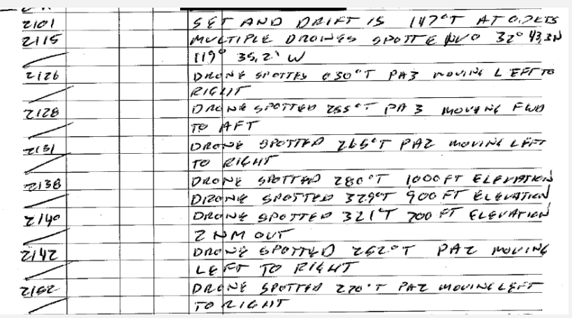
The logs describe drones dropping in elevation, and apparently moving forward and backward, left and right.
Meanwhile, the USS Rafael Peralta received a radio call from a passing cruise ship, the Carnival Imagination, notifying them that the drones are not theirs, and that they also see as many as five or six drones maneuvering nearby:

The incident continued into the night, with the USS Rafael Peralta first recording two UAVs and then four UAVs near their ship:

Approaching midnight, the USS Russell reports a final sighting:

Despite the nearly three-hour duration of the event, none of the warships involved appear to have been able to identify the drones.
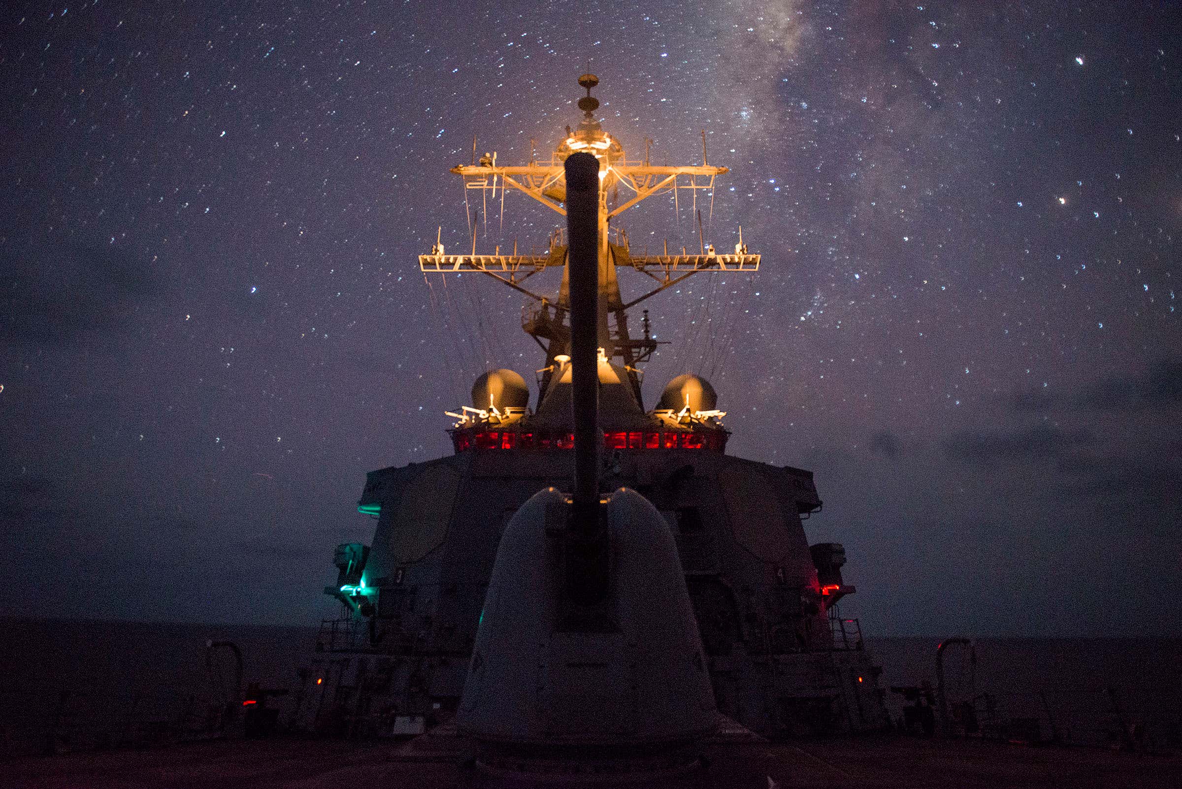
An Arleigh Burke destroyer underway at night.
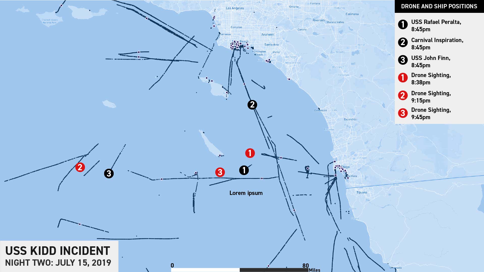
In contrast to the first night, the second set of encounters occurred closer to shore. Several of the drone sightings placed their position between San Clemente Island and San Diego. The approximate positions of the ships and drone sightings are depicted below. Note that the track dots indicate the position of the ships throughout the event, with a larger black dot indicating the position of each ship near the start of the incident at 8:45 PM.
The Official Investigation
As might be expected for such an unusual set of encounters, a formal investigation appears to have been launched immediately. The first email we obtained was dated July 17th, and referenced earlier phone conversations.
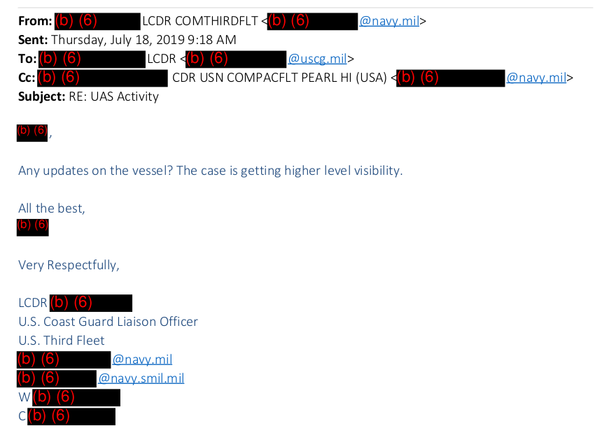
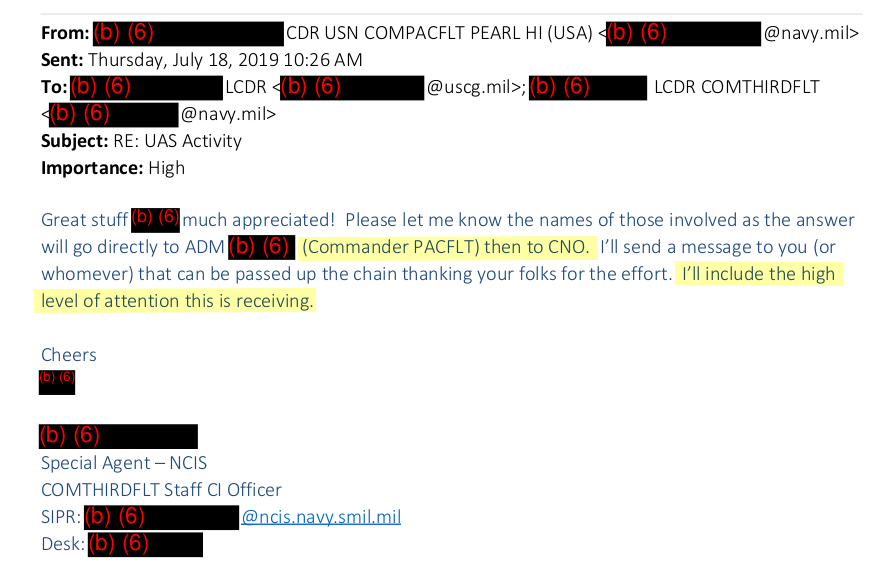
By the morning of July 18th, a Navy liaison to the Coast Guard began requesting updates for information on vessels involved in the encounter, citing “higher-level visibility.”
An hour later, a special agent with Naval Criminal Investigative Service (NCIS), assigned to 3rd Fleet as a “Staff CI Officer,” with CI likely standing for “counter-intelligence,” thanked a colleague in the Coast Guard. They mentioned that the information would go directly to the commander of the Pacific Fleet and to the Chief of Naval Operations (CNO) – the top of the Navy hierarchy, and a member of the Joint Chiefs of Staff.
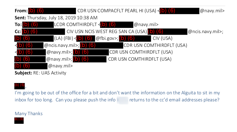
It appears the initial focus of their investigation was the ORV Alguita. An email sent just 10 minutes later expressed the need to relay information about the ship to a larger team.
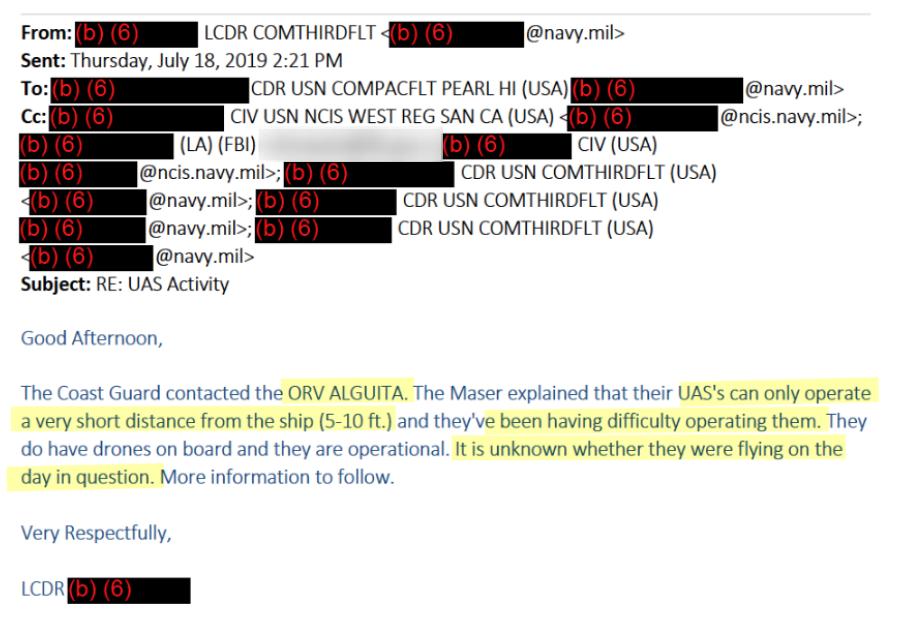
By this time, an agent with the Los Angeles office of the FBI was included in the email chain. Preliminary information indicated that while the ORV Alguita did have drones onboard, they had very limited capabilities.
A follow-up email on the evening of July 18th indicated that the Coast Guard had contacted the ship directly via satellite phone. Based on the subject line reference to San Nicolas Island and the time period given by investigators, it seems the ORV Alguita was being examined specifically for the events of July 14th.
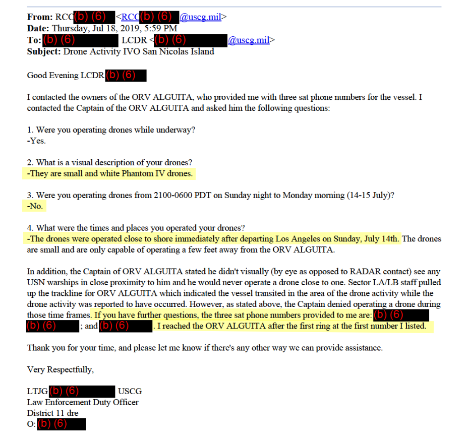
The investigators had encountered several problems at this point. The owners of the Alguita denied operating a drone during the time in question, and claimed that their drones were incapable of operating more than a few feet from the ship. Further, the Phantom IV drone is a small quadcopter and has a maximum flight time of 28 minutes, according to manufacturer DJI, which is inconsistent with the long durations of the incidents and general performance described as observed in the deck logs.
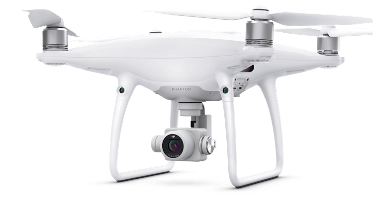
Phantom 4 Pro.
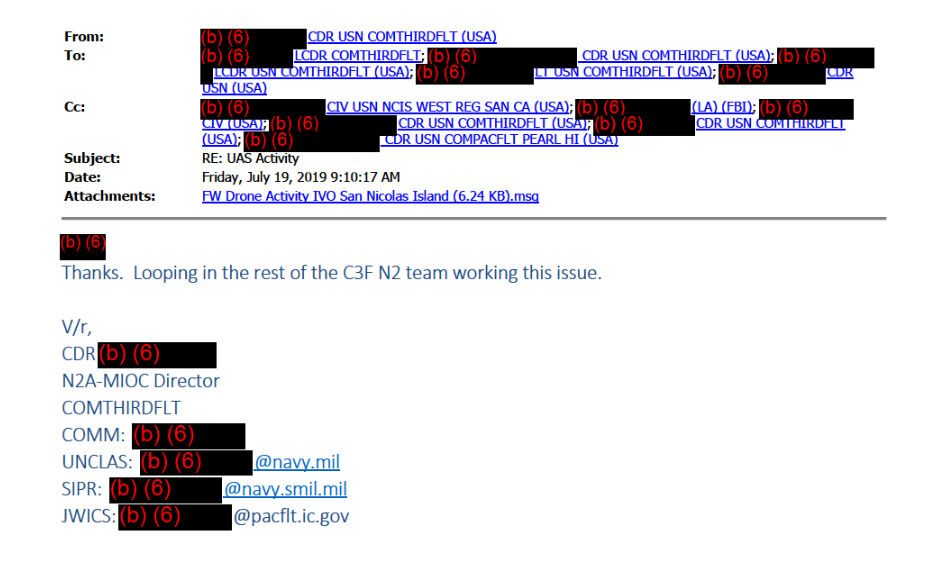
Although not referenced in these emails, the Alguita was also significantly west of the events of the second night, July 15th, based on AIS data. Apparently recognizing that ORV Alguita was a poor fit, investigators conceded that they needed to keep looking. Emails reflect that Navy intelligence began to take a more active role in the investigation by July 19th, with the director of the Maritime Intelligence Operations Center (MIOC) within 3rd Fleet, identified by the acronym C3F, “looping in” the rest of the command’s intelligence office, or N2.
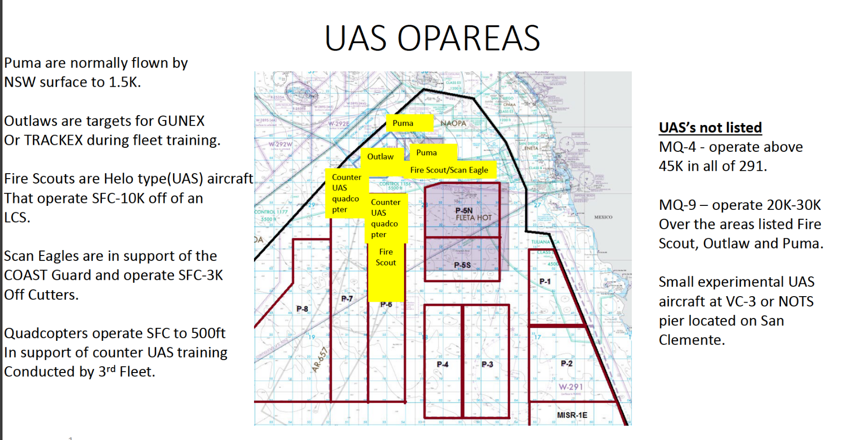
Investigators next sought to rule out the possibility that the drones were operated by the Navy itself. By Tuesday of the following week, a representative from the Fleet Area Control and Surveillance Facility (FACSFAC) based in San Diego clarified that UAVs were only operated by the Navy in certain limited areas. They then provided the following map of operational areas (OPAREAS) with a breakdown of platforms in use.
Somewhat cryptically, one of the investigators referenced “recent observations” and further clarified the need to “correlate or rule out operations.” He further requested data detailing operations between the 14th to the 17th of July.
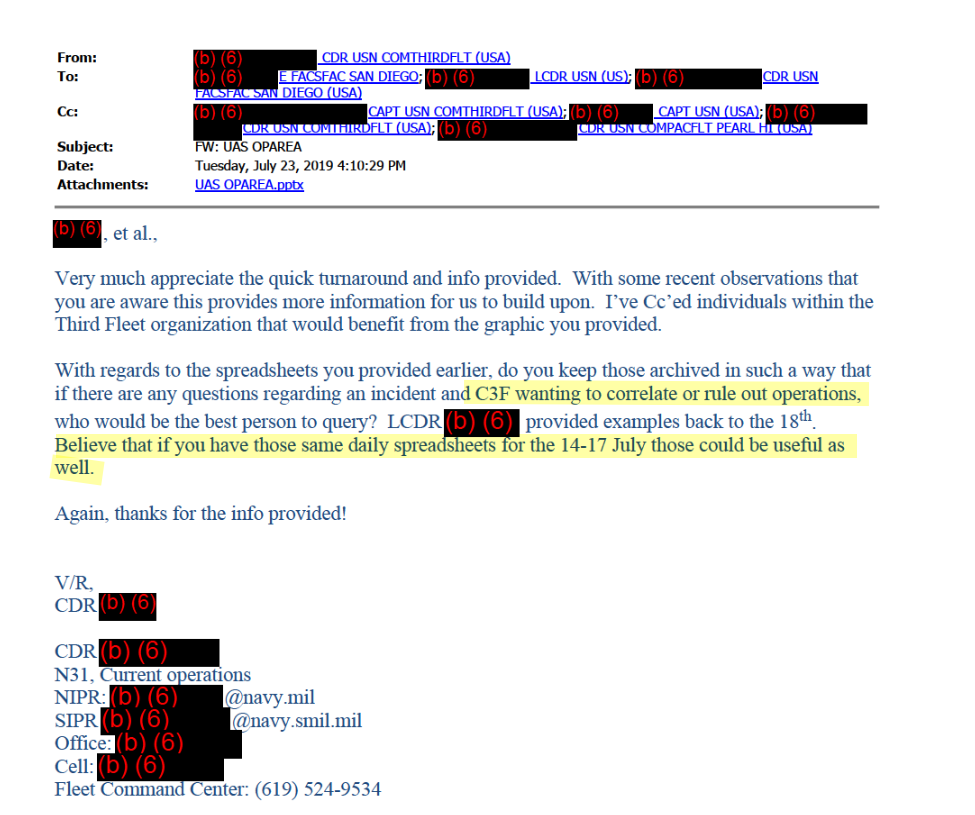
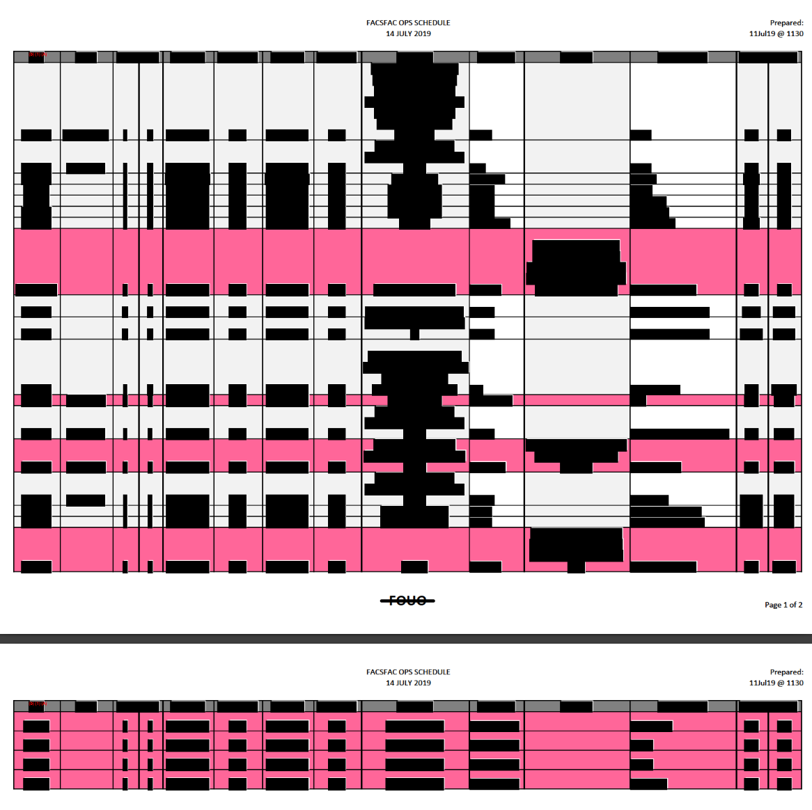
FACSFAC San Diego, in turn, sent spreadsheets of scheduled activity during that time, and explained that UAV operations are highlighted in yellow. Though the flight schedules released to us for July 14th are completely redacted, the underlying highlighting is visible. No yellow highlighting can be seen for July 14th:
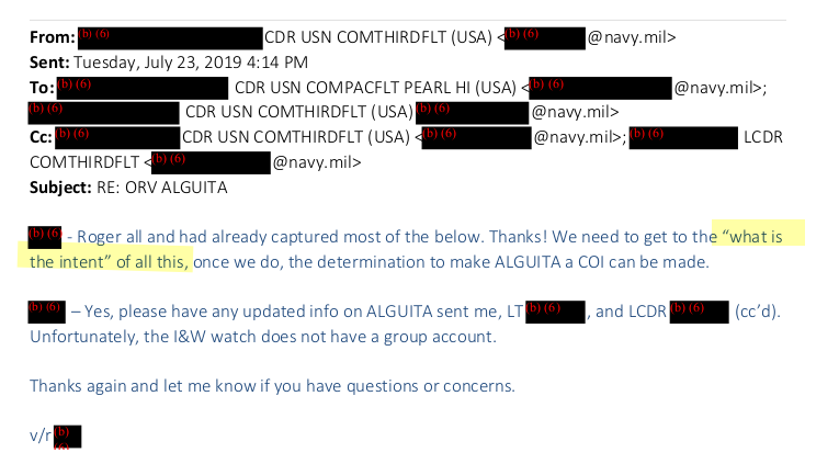
By the afternoon of July 23, the investigators were still grappling with determining the intent behind the incidents.
The last email disclosed to us was from July 25th. It references a classified briefing on drones (referred to here as UAS).
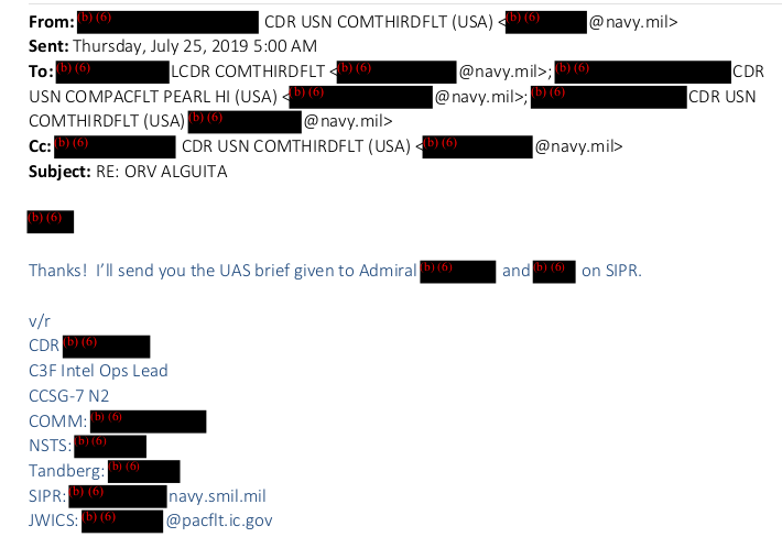
A further FOIA request for information about these briefings was denied due to their classification level. After July 25th, the email trail turns cold.
Remarkably, the drone incidents began occurring again around this time. Renewed sightings occurred during the early hours of July 25th and July 30th, just as investigators were beginning to examine classified briefings and were apparently still seeking to identify the intent behind the July 14th and 15th incursions.
The incident on the 25th involving the USS Kidd began around 1:20 AM, with the SNOOPIE team being deactivated around 1:52 AM.
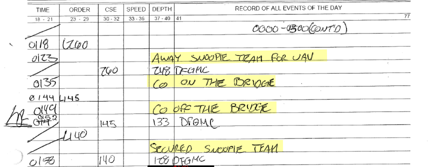
The incident on July 30th was longer, with the team activated around 2:15 AM and only deactivated by 3:27 AM:


These later incidents are notable because they occurred during the investigation, and after FACSFAC San Diego had been closely consulted.
At the time of writing, we do not have complete deck logs for the month of July except for USS Kidd, so it remains uncertain if other ships also continued to have drone encounters later in the month.
Further information continues to emerge from FOIA requests, but based on the available evidence it appears that the initial investigation did not ultimately identify the source of the drones.
Increasingly Pressing Questions
Cumulatively, these new details raise a host of difficult questions.
It is unclear why anyone would operate drones near Navy warships in such a brazen manner. Commercially available drones are not commonly capable of flying for such long durations across great distances with speeds in excess of 45 miles an hour. Based on the pooled data available from the deck logs, we estimate the drones traversed at least 100 nautical miles in the July 14th incident.
Furthermore, the drones were able to locate and catch a destroyer traveling at 16 knots in conditions with less than one nautical mile of visibility. Equally baffling, their operators appear to have coordinated at least five to six drones simultaneously. Then there is the question of line-of-sight control, and control methods in general, which make the capabilities described all that much more puzzling.
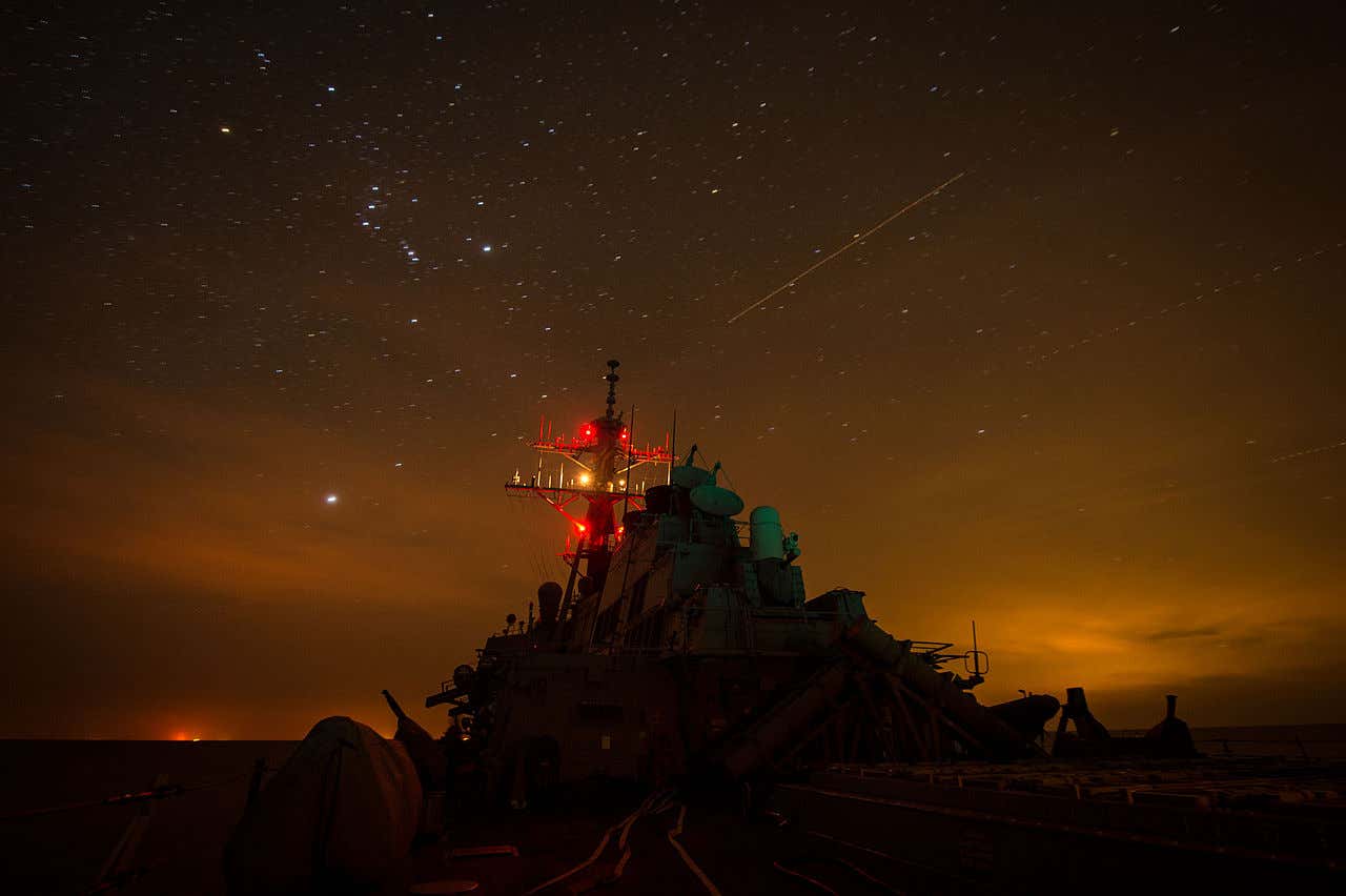
A U.S. Navy destroyer cruises under the stars.
To be sure, San Clemente Island and nearby training area FLETA HOT are hosts to a bevy of testing, which can include classified programs. Is it possible that the drones were operated by the military itself in an errant test of some kind?
If so, the incursions continued after a concerted investigation that reached the highest level of the Navy hierarchy. It also appears that no UAV activity was scheduled by FASFAC San Diego during July 14th. On the other hand, it is a general area where extremely strange things have occurred in the past.
If the drones were not operated by the American military, these incidents represent a highly significant security breach. If they were part of some kind of covert action, it is nonetheless unclear why they were flown so openly and so frequently in almost a harassing manner. More troubling still, if a foreign state actor was involved, where exactly were the drones launched from?
One thing is fairly sure: the U.S. Navy has a large amount of data on these events. The documents above reflect that multiple independent photographic intelligence teams were deployed. These teams are only a small part of a sophisticated suite of surveillance capabilities and advanced sensors, including the ability to detect radio emissions in the vessels’ vicinity, available to any one of the ships involved. This is on top of the land-based sensors that closely surveil the area. In fact, it is puzzling that those sensors, coupled with a likely extensive photographic record, were not sufficient in and of themselves to resolve the matter. This calls into question the “drone” designation. Was there ever even a hard description of these craft beyond lights in the sky?
The question remains: who was operating these craft with apparent impunity, and for what purpose, and was this extremely bizarre case ever resolved?
Our investigation is into this event is still underway and we will update you as soon as more information becomes available.
Contact the editor: Tyler@thedrive.com
